Congratulations Hayes, Kate and Rian!
Congratulations to Hayes Ballantyne, Kate Downes and Rian Mayhead who were recently certified at Level 2 (CHPS2) by the Australasian Hydrographic Surveyors Certification Panel (AHSCP). The AHSCP is jointly sponsored by S+SNZ in NZ and SSSI in Australia and undertakes the professional assessment and certification of hydrographic surveyors In Australasia. All three have recently been involved in nautical charting surveys for LINZ and are now building their portfolio of work and in char...
August 11, 2022Hydrographic Excellence Award 2022
Congratulations to Jimmy Van Der Pauw for being awarded the Survey and Spatial Hydrography Award 2022 for outstanding service to the industry. This award aims to recognise hydrographic project/s and field work that reflect hydrographic excellence, and which deliver hydrographic best practice, either ashore or afloat. The award was presented at the 2022 Spatial Excellence Awards black tie dinner event in Rotorua during the annual S+SNZ annual conference in Rotorua....
August 4, 2022Relaxing at the cricket
After a busy 6 months in the field a few of the DML survey team took time out this week to enjoy the Holland versus New Zealand T20 cricket test at the Bay Oval. The evening event was held in stunning early autumn conditions. The Bay Oval is only 650m from DML's offices and is hard to avoid when the New Zealand team is playing. Also hard to avoid are the amazing hot dogs which our team were inadvertently munching on when the TVNZ camera's panned through the crowd! ...
April 1, 2022LINZ Bluff and Stewart Island Survey - Fieldwork Complete
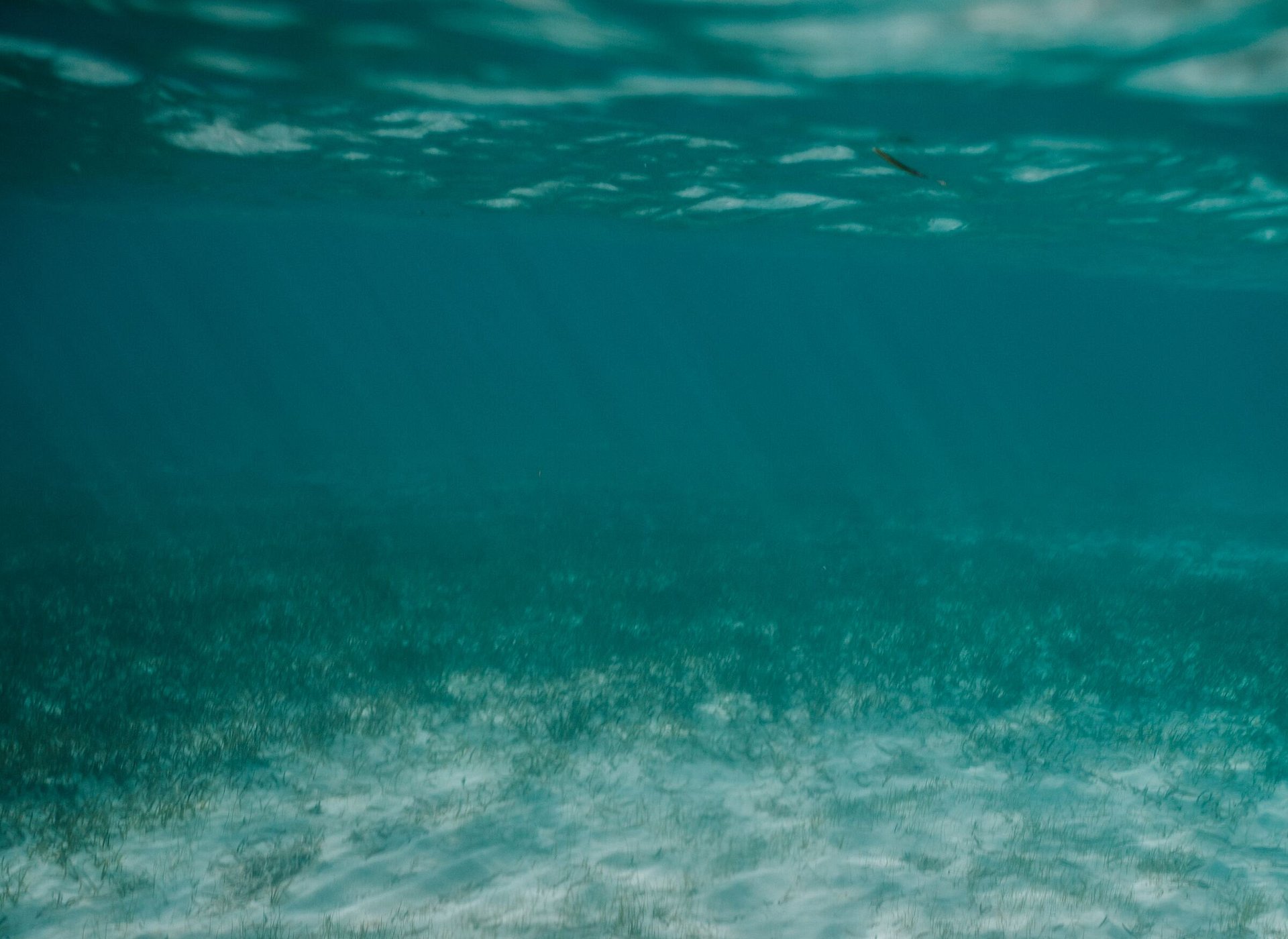
DML deployed TRANQUIL IMAGE to Southland in January 2022 to undertake fieldwork for the Land Information New Zealand (LINZ, https://www.linz.govt.nz/sea ) Bluff and Stewart Island Hydrographic Survey (HS69)....
March 9, 2022Banks Peninsula Survey - Fieldwork Complete
The fieldwork for Land Information New Zealand’s (LINZ, https://www.linz.govt.nz/sea ) HS70 Banks Peninsula Hydrographic Survey (HS70) is now complete. The offshore LINZ scope of works focussed on safety of navigation in water depths greater than 10m between Awaroa /Godley Head and Birdlings Flat. The nearshore coastal margin (0m to 10m) along the south coast of Banks Peninsula was also mapped using DML’s inshore survey vessel TUPAIA. ...
March 9, 2022LINZ Banks Peninsula Survey Begins
Fieldwork is now underway with two vessels deployed to capture hydrographic data at Banks Peninsula. The survey area extends around the Peninsula from Awaroa / Godley Head to Birdlings Flat and includes Akaroa Harbour. The data collected will be used to update navigational charts for the many commercial and recreational mariners who operate in this area. The data will also be used to help make informed decisions about resource management and marine biodiversity. While its still early days in the...
November 4, 2021Kate & Hayes join DML
Discovery Marine (DML) has two new hydrographic surveyors who have joined the team just in time to mobilise the vessel for the Land Information New Zealand (LINZ) HS70 Banks Peninsula Survey. Kate Downes and Hayes Ballantyne relocated from Palmerston North to Tauranga last month and have quickly settled into the office routine. Both Kate and Hayes graduated from the University of Otago’s School of Surveying in 2015 and immediately went offshore to gain experience and to see the world. Back in ...
October 18, 2021Mobilising for LINZ Hydrographic Surveys HS70 & HS69
For DML’s 21/22 summer field season we have partnered with Western Work Boats (WWB) to deliver Hydrographic Surveying services to Land Information New Zealand (LINZ). This year’s HYPLAN priority areas for survey include the Banks Peninsula and Bluff and Stewart Island Hydrographic Surveys. The surveys will be completed over the next 6 months and will deliver new data for nautical charts in both regions. DML reached a significant milestone in preparation for the surveys this week ...
October 12, 2021Changing of the Guard
July has seen a changing of the guard at DML. After 24 years at the helm of DML Greg & Sally Cox are off to do other things! First up is a is a long-awaited winter holiday in Wanaka where skiing and golf are on the agenda. Their tireless efforts over many years have been hugely appreciated by everyone at DML and we wish them well on the next phase of their lives Declan Stubbing has been promoted to the role of CEO while Jimmy Van Der Pauw takes on the Survey Managers duties. Kevin Smith has been...
July 26, 2021Position Vacant - Experienced Hydrographic Surveyor
We’re a Mount Maunganui based Hydrographic Survey company employing a diverse group of people ranging from industry leaders to recent graduates. Our team deliver hydrographic surveying services throughout New Zealand, Australia and the greater Pacific Region using a wide range equipment and software. Our clients typically include Governments, Science Organisations, Engineering Companies, Regional and Local Councils and Port Authorities. We are looking to expand our team and are seeking a quali...
April 30, 2021Sub-sea survey seeks unchartered structures beneath Taranaki's coastal waters
https://www.stuff.co.nz/tarana......
February 9, 2021DML Scholarship Winner – Jasmin McVeigh
DML is pleased to announce that Jasmin McVeigh, from Mount Maunganui College, has been awarded the Year 13 DML Earth, Environment and Spatial Sciences Scholarship for 2020. The scholarship recognises Jasmin’s excellence and diligence in one or more subjects associated with these sciences. As a company we are encouraged to see Jasmin pursuing her studies at Canterbury University so that she may increase her knowledge, abilities and skills through further education at one of New Zealand’...
January 22, 2021New Zealand Ports Benefit from National High-tech Seabed Survey
In New Zealand, high-tech seabed surveying of the approaches to Port Taranaki began this week. The survey area extends along the coast from Ōkato to Waitara and approximately 7km from the shore. The survey is part of the Land Information New Zealand (LINZ) annual work programme to update New Zealand’s nautical charts for commercial and recreational mariners. LINZ Manager Hydrographic Survey Stuart Caie says the data gathered during the survey can be used in other ways to benefit the Taranaki ...
November 18, 2020We're promoting one of our best!
We're excited to announce a new phase for DML Surveys with the recent promotion of Declan Stubbing, to Operations Manager. Declan joined DML from Otago University in 2004, where he studied a Bachelor of Surveying (BSurv) specialising in Hydrographic surveying. He's also completed the IHO FIG Cat A course and holds CPHS Level 1 certification. Declan took a break from DML to undertaken an OE and gain some international work experience, rejoining us in 2010. ...
August 24, 2020DMAL to be part of the Australian Government's Hydroscheme Industry Partnership Program (HIPP)
A proud day for Discovery Marine, as our affiliate company Discovery Marine Australia Ltd, became an official panel provider of Hydrographic Surveying services for the Australian Government as part of the Hydroscheme Industry Partnership Program (HIPP). HIPP is a partnership between the Australian Commonwealth and private industry to help deliver an extensive programme of nautical charting surveys in Australian territorial waters.We're excited to be offered the opportunity to participate a...
February 28, 2020Kaituna River re-diversion opening celebrated
In 2013 the Western Bay of Plenty District Council began exploring design options for the Kaituna River re-diversion works. The return of freshwater flows from the Kaituna River into Te Awa o Ngātoroirangi/Maketū Estuary was celebrated this week by the local community and key stakeholders. DML was pleased to play a key role, in the project by undertaking baseline bathymetry and monitoring surveys. As the project developed part of the challenge was getting our survey jet ski in and out of the w...
February 25, 2020From Samoa to Pelorus Sound, it’s the people that count
As one DML survey team puts the final touches on a two-month hydrographic survey in Samoa, they took the opportunity for one last game of volleyball with the locals who had helped us out before saying their goodbyes. Meanwhile in New Zealand, another DML team, departed our Tauranga offices for the first phase of a 5-month survey of Pelorus Sound based out of Penzance Bay in the Marlborough Sounds. The small, dedicated survey team will have plenty of opportunities to build new relationships with ...
November 25, 2019Hydrography - the best job ever!
To celebrate World Hydrography Day (https://en.wikipedia.org/wiki/World_Hydrography_Day) DML are sharing some images from a recent multi sensor nautical charting survey around the active volcano, White Island, in the Bay of Plenty. When the all of the elements come together (amazing location & perfect weather) we realise that we have one of the best jobs in the world!...
June 21, 2019DML captures impressive images, as Auckland Harbour Bridge turns 60
Last month, DML Surveys was contracted to support a project which involved mapping the Auckland Harbour Bridge. The Bridge is iconic to Auckland’s visual landscape and is a crucial piece of NZTA’s transport infrastructure. It first opened to traffic on the 30th of May 1959 and spans a narrow part of the Waitemata harbor joining Auckland’s North Shore with the City isthmus.Our client needed detailed ‘point cloud data’, which would be used to fill in the gaps in data captured...
May 30, 2019Remotely operated vessel surveys sediment pond
DML recently completed a shallow pond survey using its remotely operated vessel “KOURA”. The small radio controlled vessel undertook a single beam survey of a shallow suspended sediment pond for volume calculations. The platform was ideal in this situation due to:Very shallow nature of the pondConfined feeder channelSuspended sediment may have caused issues with a traditional water-cooled outboard engineClean up of the vessel and equipment was a lot quickerContact with the pond water wa...
March 27, 2019 Posts 26-45 of 45 | Page prev