Last month, DML Surveys was contracted to support a project which involved mapping the Auckland Harbour Bridge. The Bridge is iconic to Auckland’s visual landscape and is a crucial piece of NZTA’s transport infrastructure. It first opened to traffic on the 30th of May 1959 and spans a narrow part of the Waitemata harbor joining Auckland’s North Shore with the City isthmus.
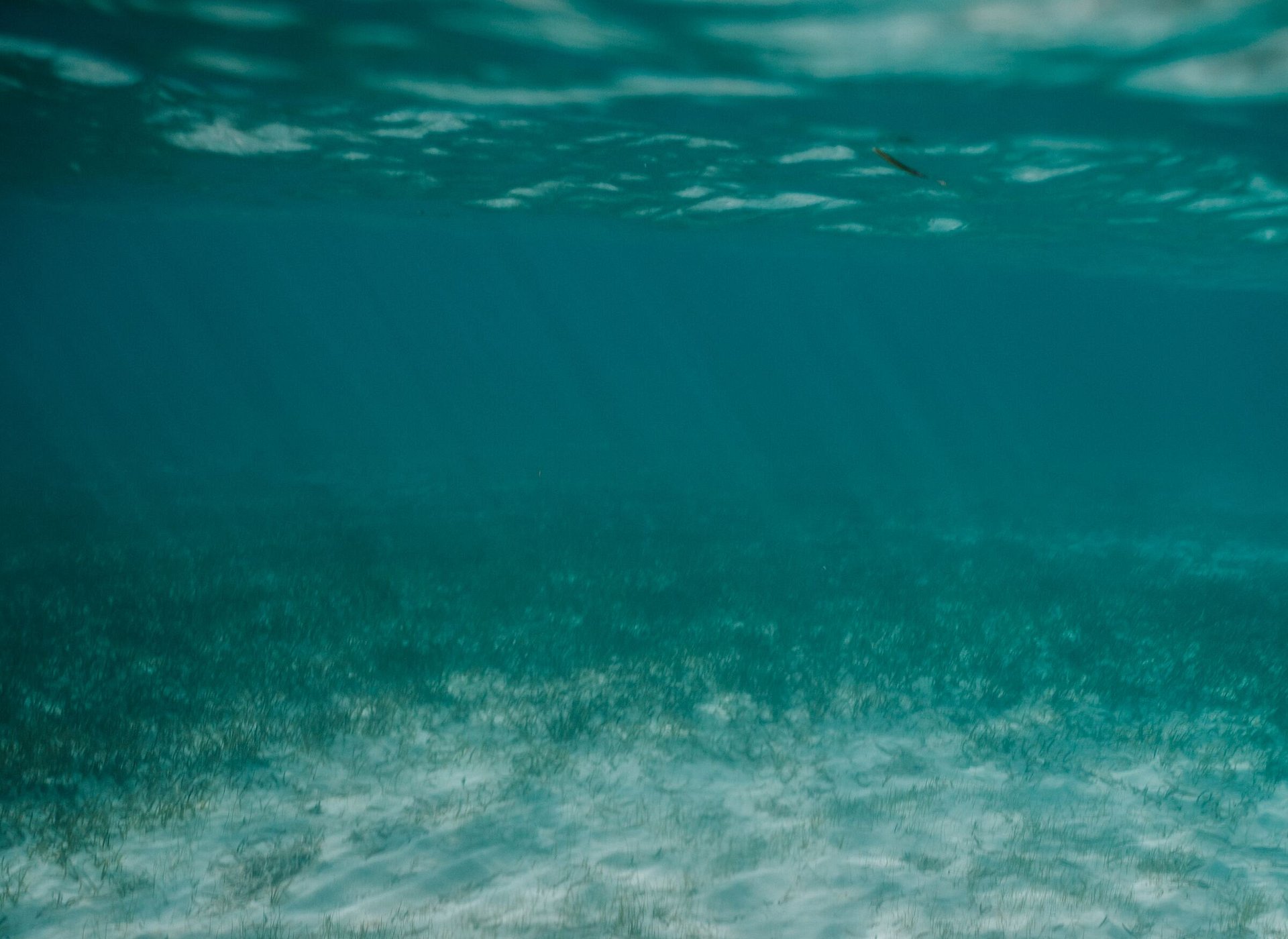
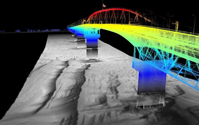
Our client needed detailed ‘point cloud data’, which would be used to fill in the gaps in data captured separately for the North and South Abutments of the bridge. They also wanted to image the submerged bridge piers and surrounding seabed.
Using our dedicated hydrographic survey vessel and an integrated mobile laser scanning system, we scanned the super structure and bridge piers. We were also tasked with gathering data from submerged surfaces below the bridge. We were able to simultaneously collect this data using a Multi-Beam Echo Sounder mounted to the side of the vessel. Sophisticated on-board systems allowed us to visualize data being captured in real-time from both above and below the waterline.
To achieve the coverage required for the project, our team had to make 30 separate vessel passes, run either perpendicular or parallel to the general bridge direction. This meant we had to be on the water for 6 hours to work around tide constraints. We also needed to work late at night to minimise possible impacts on the data due to vibrations caused by traffic flows.
And the effort didn’t stop there! Once the data was collected, significant time was spent back in the office processing and assessing the quality of the combined data set. As you’d expect, this also involves sophisticated processing software and specialist know how.
It’s important to understand what influences the accuracy of the data, and how we can minimize the impact of different variables. Our team has acquired this knowledge after years of experience. We need to account for factors such as vessel motion and position, GNSS quality, tidal flows or currents, and the general characteristics of seawater that all have an impact on the data accuracy. Working on the ocean presents some complex and interesting challenges.
On this project we needed to guarantee our results were accurate to within 0.1m. This can be challenging when you’re operating multiple sensors on a moving platform, which is getting bumped around by wind and swell.
After accessing the scan data, we were able to achieve accuracies in the order of 3cm across multiple scans. The stunning imagery captured pays tribute to the iconic 60 year-old structure.
https://www.nzherald.co.nz/national-video/news/video.cfm?c_id=1503075&gal_cid=1503075&gallery_id=207465