LINZHydrographySurveyHydrographicBanks PeninsulaEducationHydrographic surveyAHSCPCertificationHydrographic surveyorScholarshipScienceStudyUniversity of OtagoAustralasian Hydrographic Surveyors CertificationBluffCPHS1DoCECANGisborne District CouncilJimmy van der pauwMount maunganui collegeNautical chartPortsSafetySeaworksStaffStewart IslandStudentSurvey schoolTaranakiTrainingTRANQUIL IMAGEWestern Work Boats#aucklandharbourbridge#bathymetric surveys in remote locations#bestcareerever#declanstubbing#HIPP#hydroscheme#Industryandgovermentworkingtogether#mapping the seabed#mappingthegaps#mobilelaserscanningfromavessel#peoplematter#promotion#publicprivatepartnership#surveynews#talentedpeople#transtasmanpartners#worldhydrographyday2023 Mount Everest ChallengeA career in HydrographyAustraliaAwardBack scatterBen hubbardBill dayBruce WallenCAT ACharityCoastalCoastal engineeringCollaborationCommunityComplianceCongratulationsRyanCPHS Level 1 or 2CPHS2CPHSL2CycloneDeclan stubbingDeerDevelopment in the Bay of PlentyDMLDMLScholarshipDolphinsEmergencyFederated States of MicronesiaFeesFieldworkFire fightingFSMFutureLeadersGabrielleGeospatialGeospatial CouncilGisborneGreg coxHSEHydrographic Survey in SamoaHydrographic surveying on a jet skiHydrographic surveyorsHYPLANIHOJasmin McVeighKate downesKevin smithLand Information New ZealandLaser scanning super structuresLife jacketsLive for MoreMan over boardMarineMauaoMount MaunganuiMulitbeamMultibeamNapierNautical chartingNew PlymouhtNew ZealandNew Zealand Certificate in Hydrographic SurveyingNorthportOIOpen DayPacificPlay hardPohnpeiPohnpei surf and Dive ClubRelaxationRemote vessel survey New ZealandRescureRetirementRiver surveysRNZNSafety of navigationSally coxSand wavesScholarshipAwardSchoolsSea SurveyorSinglebeamSpatial Hydrography Award 2022StudentsSurvey and spatialSurvey requestSurveyingSurveying a shallow pondSurveying sediment pondSurveyorSurvivalTatai Aho Rau LEARNZTeachersTeamTonkin & TaylorVirtual Field TripWater columnWet drillsWhite pointer sharkWomenWork hardYouthYouthInScience
TAGS

LINZ Bluff and Stewart Island Survey - Fieldwork Complete

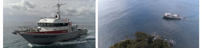
DML deployed TRANQUIL IMAGE to Southland in January 2022 to undertake fieldwork for the Land Information New Zealand (LINZ, https://www.linz.govt.nz/sea  ) Bluff and Stewart Island Hydrographic Survey (HS69).

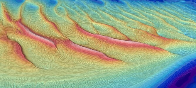
The Foveaux Straight is a notoriously rough stretch of water, however the survey team were pleasantly surprised with a great run of weather experienced over the summer months. Some amazing seafloor sand wave features were detected during the survey caused by the strong currents through the straight. 

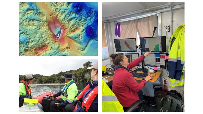
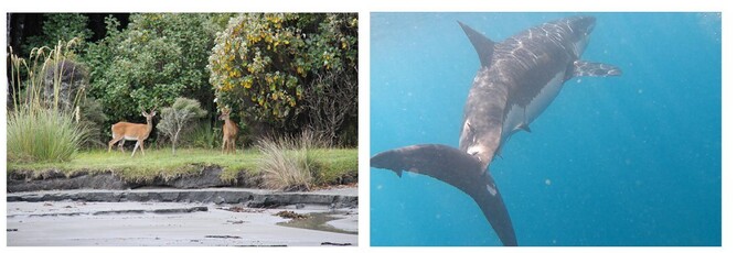
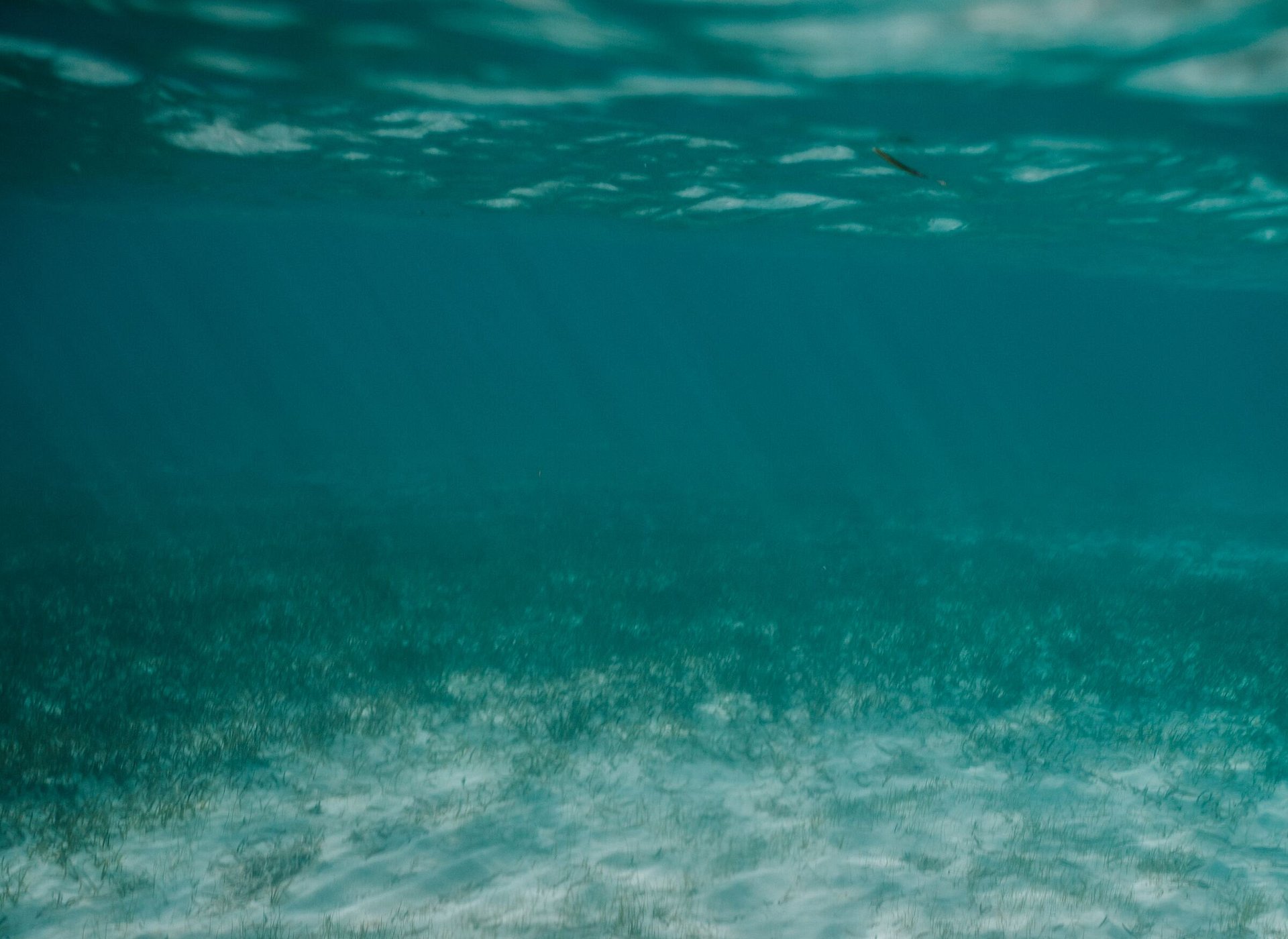
Jennifer Coppola from LINZ joined the DML team on board TRANQUIL IMAGE for the mobilisation and initial tides and geodetics phase of HS69.  Along with installing and calibrating tide gauges the team got an opportunity to see some of the amazing local wildlife, not all of which was cute and friendly!