LINZSurveyBanks PeninsulaHydrographicHydrographic surveyHydrographyHydrographic surveyorScholarshipScienceStudyUniversity of OtagoAHSCPBluffCertificationCPHS1DoCECANEducationJimmy van der pauwMount maunganui collegeNautical chartPortsSeaworksStaffStewart IslandStudentSurvey schoolTaranakiTRANQUIL IMAGEWestern Work Boats#aucklandharbourbridge#bathymetric surveys in remote locations#bestcareerever#declanstubbing#HIPP#hydroscheme#Industryandgovermentworkingtogether#mapping the seabed#mappingthegaps#mobilelaserscanningfromavessel#peoplematter#promotion#publicprivatepartnership#surveynews#talentedpeople#transtasmanpartners#worldhydrographyday2023 Mount Everest ChallengeA career in HydrographyAustralasian Hydrographic Surveyors CertificationAustraliaAwardBack scatterBen hubbardBill dayBruce WallenCAT ACharityCoastalCoastal engineeringCommunityComplianceCPHS Level 1 or 2CPHS2CPHSL2CycloneDeclan stubbingDeerDevelopment in the Bay of PlentyDMLDolphinsEmergencyFederated States of MicronesiaFeesFieldworkFSMGabrielleGeospatial CouncilGisborne District CouncilGreg coxHSEHydrographic Survey in SamoaHydrographic surveying on a jet skiHydrographic surveyorsHYPLANIHOJasmin McVeighKate downesKevin smithLand Information New ZealandLaser scanning super structuresLife jacketsLive for MoreMarineMauaoMount MaunganuiMulitbeamMultibeamNapierNautical chartingNew PlymouhtNew ZealandNew Zealand Certificate in Hydrographic SurveyingNorthportOIOpen DayPacificPlay hardPohnpeiPohnpei surf and Dive ClubRelaxationRemote vessel survey New ZealandRetirementRiver surveysRNZNSafety of navigationSally coxSand wavesSchoolsSea SurveyorSinglebeamSpatial Hydrography Award 2022Survey and spatialSurvey requestSurveyingSurveying a shallow pondSurveying sediment pondSurveyorSurvivalTeamTonkin & TaylorTrainingWater columnWet drillsWhite pointer sharkWomenWork hardYouth
TAGS

LINZ Banks Peninsula Survey Begins

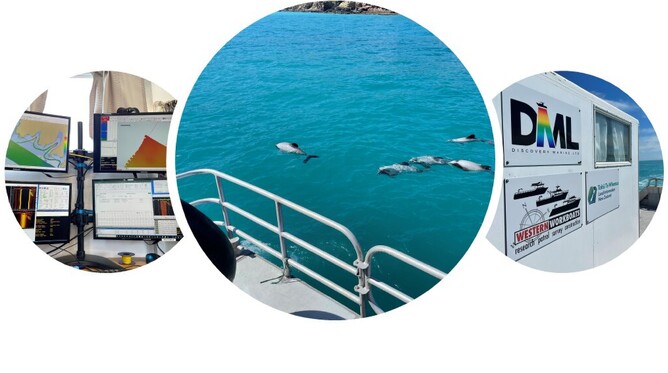
Fieldwork is now underway with two vessels deployed to capture hydrographic data at Banks Peninsula. The survey area extends around the Peninsula from Awaroa / Godley Head to Birdlings Flat and includes Akaroa Harbour. The data collected will be used to update navigational charts for the many commercial and recreational mariners who operate in this area. The data will also be used to help make informed decisions about resource management and marine biodiversity. While its still early days in the survey local wildlife is being seen in abundance. 

For more information about this survey and others please visit:

LINZ HS70 Banks Peninsula Survey

https://www.linz.govt.nz/sea/c...