RIVER SURVEYS
> RIVER SURVEYS ARE AN ESSENTIAL TOOL FOR FLOOD MANAGMENT, WATER MODELLING, WATER QUALITY, RIVER BANK MANAGEMENT AND RESOURCE CONSENTS
The surveys may consist of cross sections, Single Beam Echo Sounder (SBES) surveys, Multibeam Echo Sounder Surveys (MBES), sediment probing, ADCP surveys and Mobile Laser Scanning (MLS) of the adjacent topography. The vessels used range in size from jetski's to purpose built survey vessels 5-7m in length fitted with state of the art positioning, motion sensors and portable survey computers.
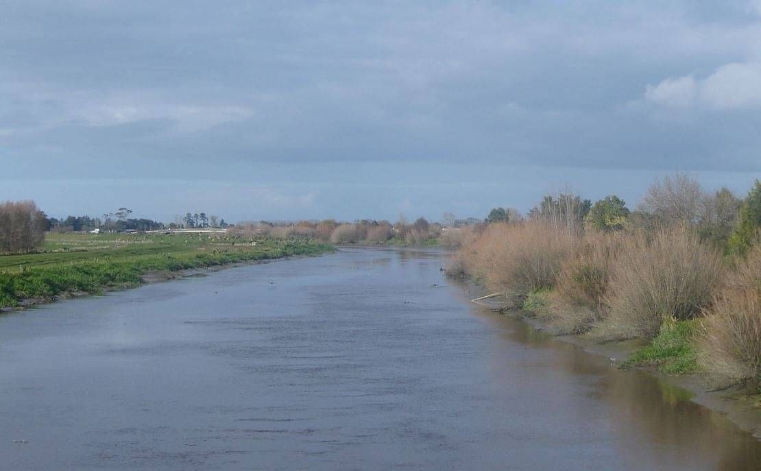
PIAKO RIVER | CASE STUDY
D U R A T I O N : 1 D A Y I D A T E : 2 0 1 8
BACKGROUND
The Piako River is a lowland river system that drains into the Firth of Thames. Together with the Waihou River it is one of the two main rivers systems which drains the Hauraki Plains. It is the dominant river system in the Matamata-Piako District and passes through the towns of Morrinsville and Ngatea.
REQUIREMENT
The main objective of the project was to complete a combined hydrographic and topographic survey of the Piako River and surrounds to assess the extent of recent erosion events due to high rain fall and the resulting high river flows.
SOLUTION
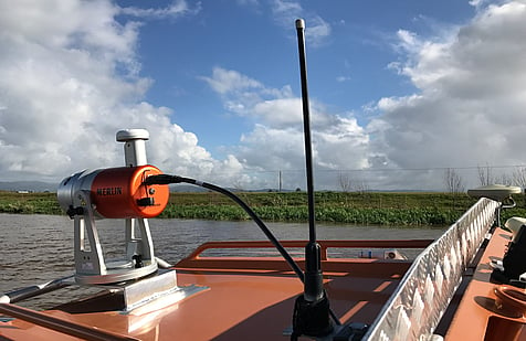
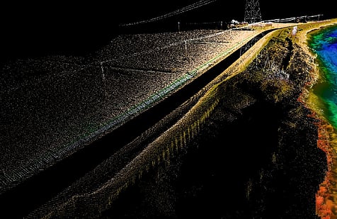
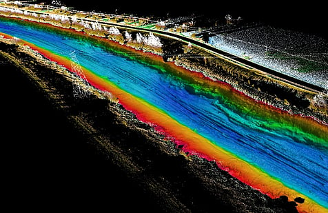
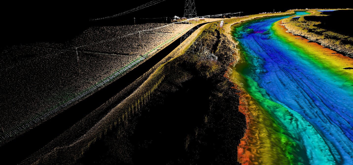
DML undertook the survey using its high resolution Multibeam Echo Sounder (MBES) and its 5.6m Stabicraft survey vessel. In addition a vessel mounted Mobile Laser Scanner (MLS) System (LiDAR) was used to capture point cloud data of the river bank and surrounding infrastructure. All project planning, survey control, MBES and MLS acquisition, data processing and reporting was carried out over a period of 3-4 weeks.
OUTCOME
Comprehensive survey coverage was achieved using the combined MBES and MLS systems. Approximately 3km of combined data was captured, including the river bed, stop bank and erosion area. All data was captured from one vessel setup during one field deployment. The data will be used to plan for remediation works.