HAVE YOU EVER THOUGHT ABOUT A CAREER IN HYDROGRAPHY?
About Discovery Marine
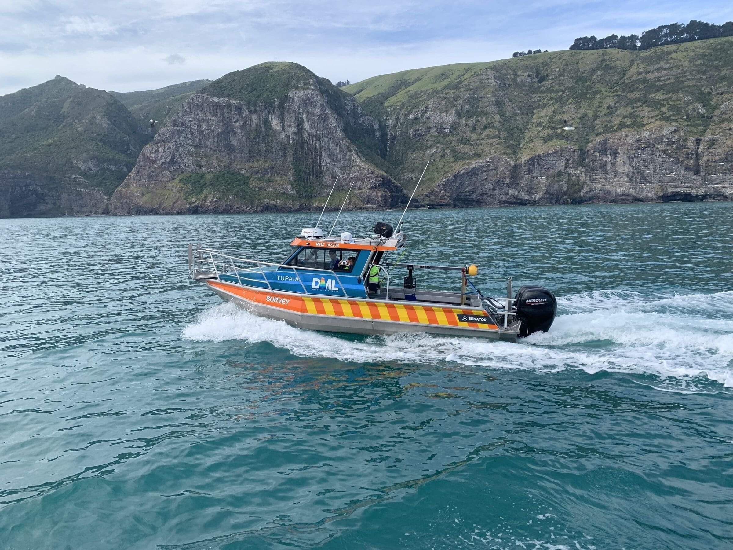
We’re a New Zealand based Hydrographic Survey company employing a diverse group of people ranging from industry leaders to recent graduates. Our team deliver hydrographic surveying services throughout New Zealand, Australia and the greater Pacific Region using a wide range of equipment and software, from our base in Mount Maunganui. Our clients typically include Governments, Science Organisations, Engineering Companies, Regional and Local Councils and Port Authorities.
WHAT TYPE OF WORK DO WE DO AT DML?
Our clients work in high-stakes coastal environments, where understanding surrounding waters is critical for ensuring safety, resilience and sustainable development. This understanding begins with knowing the local bathymetry - the depth and shape of underwater terrain, because the terrain influences how water will behave as it moves across it. As experts in the science of Hydrography, we're adept at capturing bathymetry. We also understand tides, observe currents, identify navigational hazards and provide insights into the nature of the seabed and water column above it.
HYDROGRAPHIC SURVEYING - FOR NAUTICAL CHARTING
Hydrographic surveys are required to ensure safe ship navigation and are the most complex projects we undertake, due to exacting standards and demanding operating conditions.
Surveyors leading this work must hold internationally recognised certifications and have proven experience in the science of Hydrography.
READ MORE HERE
HYDROGRAPHIC SURVEYING - FOR PORT & DREDGING OPERATIONS
Port and dredging surveys are needed to ensure safe vessel operations within ports and harbours. Given the high-stakes environment, the Maritime New Zealand Good Practice Guidelines for Hydrographic Surveys in NZ Ports and Harbours, recommends that appropriately certified hydrographic surveyors undertake this work.
DML’s senior team hold CPHS Level 1 and/or IHO Cat A Certification and we are a trusted provider to New Zealand’s largest commercial Ports.
READ MORE HERE
BATHYMETRY & MOBILE LASER SCANNING - FOR EROSION & SEDIMENTATION MONITORING
Coastline, river and lake surveys are requested to assist with modelling for flood management, assessing water quality, coastline/lake shore/river-bank management and resource consents.
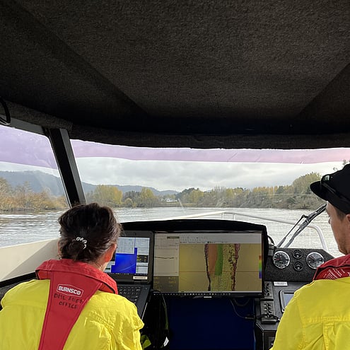
Using vessel mounted echo sounders and mobile laser scanning technology, it’s possible to collect and combine data from above and below the waterline for coastline/lake shore/river-bank management.
READ MORE HERE
BATHYMETRY & MOBILE LASER SCANNING - FOR DAMS & INFRASTRUCTURE
Reservoir and dam surveys are required to assist with asset management, provide water volume calculations, water quality assessments and to support resource consents.
Using multibeam echo sounders and mobile laser scanning, it’s possible to provide seamless data from above and below the water line, enabling 3D visualisation.
We understand the risks & challenges of surveying dams.
READ MORE HERE
What can we offer you?
By joining us at DML you will get:
A clear pathway to AHSCP certification
Have the opportunity to live in the Bay of Plenty
Be involved in challenging and diverse projects
Progress your career both professionally and technically
Work with some of Australasia’s most experienced Hydrographic Surveyors
Travel domestically & internationally for projects
Contribute to a business utilising the latest technology and software
> THE HYDROGRAPHIC SECTOR REQUIRES SKILLS IN SURVEYING, GIS, IT, ELECTRICAL ENGINEERING, ROBOTICS, VESSEL OPERATIONS AND MANY MORE
The industry needs people with a wide range of skills, so if you want to know more about hydrography have a look at the videos and links below or contact us to speak to someone working in the profession.
HS69 - Bluff and Stewart Island (2022)
HS64 - Samoa Survey (2019)
HS57 - Kaikoura – Cape Campbell (2017)
HS75 - Approaches to Napier (2022)
Pohnpei - Micronesia (2023)