PORT & DREDGING SURVEYS
> Precise depth surveys in support of port operations and regional harbour developments
Port and dredging support surveys are an essential tool for the safety of shipping, port asset management, tidal modelling, water/sediment quality and resource consents.
The surveys may consist of Single Beam Echo Sounder (SBES) surveys, Multibeam Echo Sounder Surveys (MBES), sediment sampling, tide gauge monitoring and analysis, ADCP surveys for current monitoring, pre and post dredging surveys, dredge monitoring surveys, dredge volume calculations and Mobile Laser Scanning (MLS) of wharves and port structures.
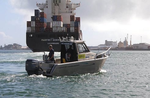
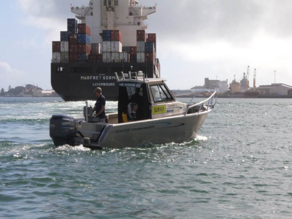
DML uses vessels ranging in size from jet skis to purpose built survey vessels 5-8m in length, fitted with state of the art positioning, motion sensors and portable survey computers. Our surveyors are also adept mariners to ensure safe operations in busy port environments.
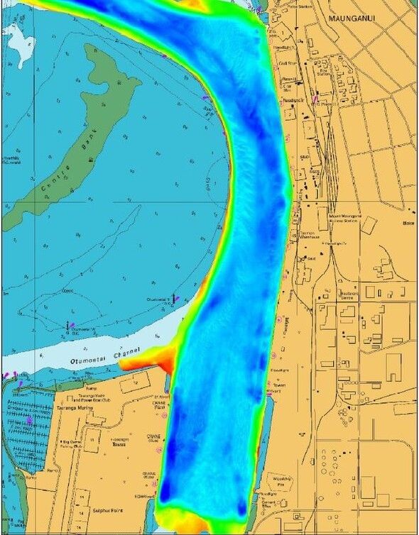
TAURANGA HARBOUR | CASE STUDY
F I E L D W O R K D U R A T I O N : O N - G O I N G
C L I E N T : P O R T O F T A U R A N G A
BACKGROUND
Port of Tauranga is New Zealand's busiest port and largest port by volume situated in the Bay of Plenty, on the east coast of the North Island of New Zealand. It is a leading import/export destination currently investing in berth and infrastructure expansion projects including capital dredging works, which will attract larger vessels and increase container volumes.Port of Tauranga operations extend beyond Tauranga to Metroport in Auckland, an alliance with North Port Corporation at Marsden Point, Metroport in Rolleston Christchurch and a 50% shareholding in Primeport Timaru.
REQUIREMENT
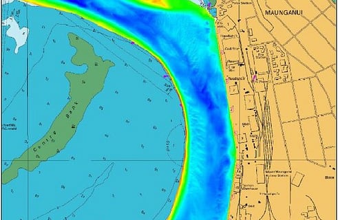
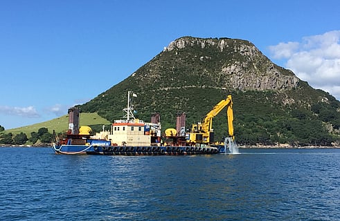
The Tauranga Harbour is an extremely dynamic environment with harbour depths subject to frequent change. Located in the Western Bay of Plenty, the harbour is predominately shallow with strong tidal flows. Seaward of the 'mouth' of the harbour entrance, the region is often affected by large seas and swell at certain times of the year.The Port of Tauranga undertakes regular maintenance dredging to ensure safe navigation and Under Keel Clearance. DML undertakes pre and post dredge surveys on behalf of POTL to derive accurate baseline data sets. The data quality and level of coverage enables the accurate calculation of volumes which provides confidence to the Port Operations team in terms of assessing UKC. Other benefits include the on-going detection of targets/objects on the sea floor.Given the busy and dynamic nature of a port environment, DML is on hand to provide hydrographic support and advice including wider joint venture harbour surveys for research, recreational and local government use, updating of notices to mariners, assistance in emergency response situations and the management of a variety of stakeholder relationships. DML has been providing contract hydrographic survey support and services since 2005. The contract services are supervised by senior IHO Cat A / CPHS1 Surveyor/s. DML has established a long term relationship with POTL built on trust and exceptional customer service.
CHALLENGES
DML must work within tight tidal constraints and around shipping movements associated with a busy port, however given that DML's head office is located in Tauranga, the company is able to rapidly respond to the Port's needs.
SOLUTION
DML guides and implements POTL's annual survey plan using a combination of Port assets supported by DML vessels and software. The Port also has a commitment to supporting the marine students from the University of Waikato which is often facilitated with the assistance of DML.