REMOTE SURVEYS
> SURVEYS IN REMOTE LOCATIONS
Surveys in remote locations of wharves and ports are an essential tool for inter island transport, trade and fisheries. The surveys are usually undertaken for engineering companies working with international aid agencies and banking institutions supporting the development of island nations or providing support after a weather event. Surveys may consist of Single Beam Echo Sounder (SBES) surveys, Multibeam Echo Sounder Surveys (MBES), cross sections, sediment probing, underwater photography/video, magnetometer surveys and topographic surveys. Local vessels of opportunity are used and range in size from small dinghy's to local charter vessels fitted with Discovery Marine's portable survey sensors and ruggedised computers.
SAMOA
F I E L D W O R K D U R A T I O N : 66 D A Y S
C L I E N T : LAND INFORMATION NEW ZEALAND & MINISTRY OF FOREIGN AFFAIRS
BACKGROUND
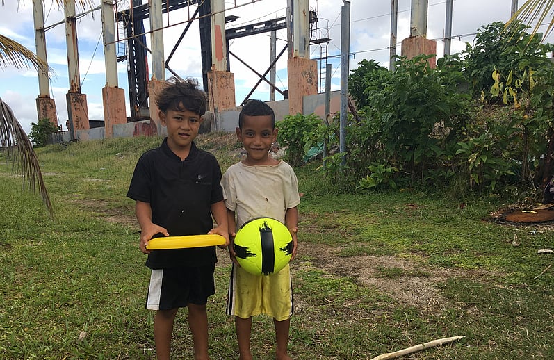
As part of the New Zealand Governments commitment to capacity building in the Pacific, Land Information New Zealand (LINZ) and the Ministry of Foreign Affairs and Trade (MFAT) commissioned a hydrographic survey for the Independent State of Samoa (Samoa).
The survey came about as South West Pacific island nations have generally seen an increase in SOLAS traffic transiting their waters as the volume of maritime trade increases and a resurgence of marine tourism has spurred the cruise ship industry to find new destinations. Additionally over the last twenty years the development of UNCLOS and the formal recognition of the 200nm EEZ’s has brought with it additional responsibilities on nations of all sizes to ensure that there are adequate charts to support safe navigation through their waters.
REQUIREMENT
A risk assessment of Samoa found that several areas were not properly charted to modern standards, and were considered not to be suitable for coastal navigation and approaching coastal harbours.
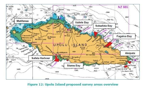
A comprehensive hydrographic survey of 12 specific sites, across 10 locations around the Samoa Islands of Upolu and Savai’i, was required includuing:
Upolu: Vailele Bay, Saluafata Harbour, Fagaloa Bay, Aleipata 1, Aleipata 2, Aleipata 3, Siumu Bay, Safata Harbour, Mulifanua Harbour.
Savai’i: Salelologa Harbour, Matautu Bay, Asau Harbour
CHALLENGES
Remote location surveys provide a number of challenges including:
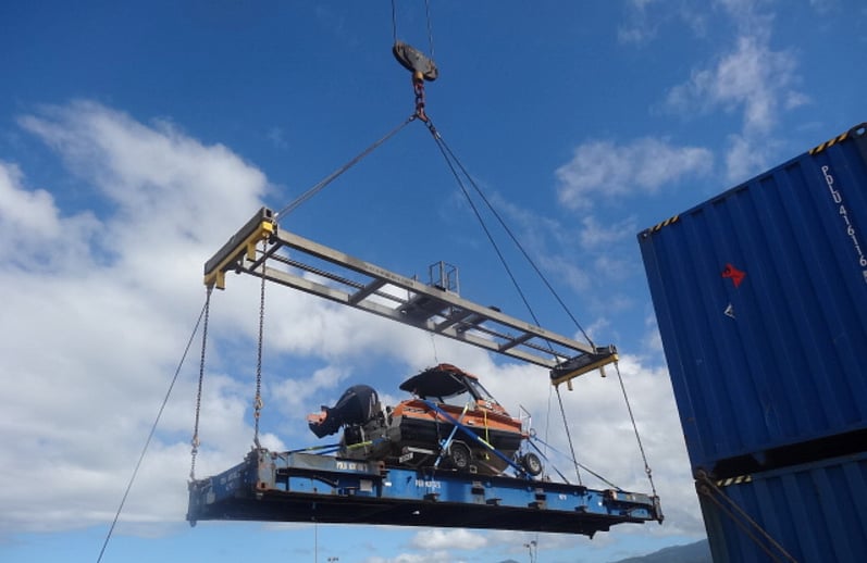
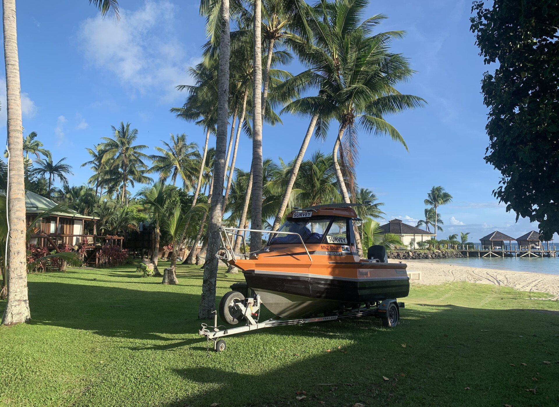
- Planning and logistics. A high degree ot coordination is required to get the team, equipment and vessel to the survey area. For Samoa this required the purpose built survey motor boat and trailer be shipped to Samoa from New Zealand along with all of the survey equipment.
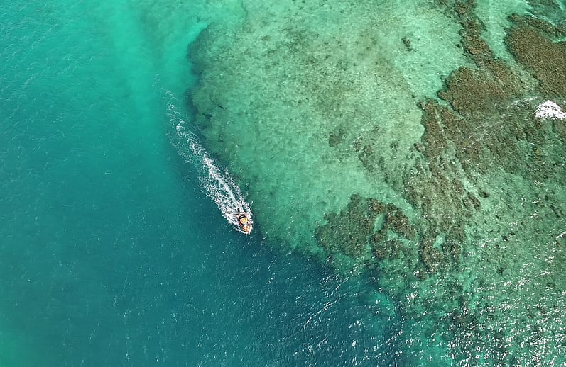
- Seasonal weather constraints. Strong trade-winds were experienced during the first half of the Samoa survey resulting in challenging conditions for vessel operations in exposed areas and along reef edges exposed to prevailing wind and seas.
- Reliability of equipment. Most remote survey locations have little or no access to spares. Samoa is no different so when something goes wrong with your equipment ready access to your own spares or suppliers who can respond to urgent requests for assistance are invaluable in keeping down time to minimum.
OUTCOME
The Samoa survey motor boat completed over 400Nm and 230hrs of boat sounding in challenging conditions.
The survey team, vessel and equipment returned to New Zealand to complete the processing and reporting with the resulting data being used to update the nautical chart/s for Samoa.