we'll provide the best technical solutions for your hydrographic or topographic survey, within your project constraints
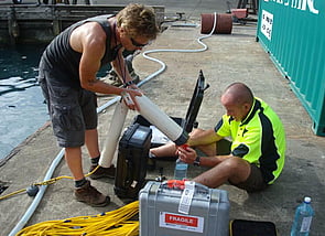
DML operates a range of technical solutions for hydrographic and topograhic surveys including multibeam echo sounders (MBES), single beam echo sounders (SBES), Side Scan Sonars, mobile laser scanners (MLS) and tide gauges.
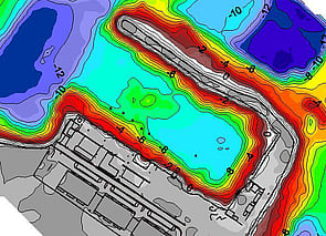
Often used where cross section profiles are required or where shallow depths preclude the use of MBES
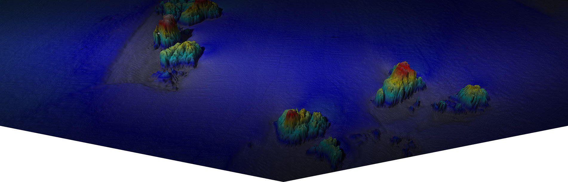
Used to collect complete surface profiles for in-shore shallow water and deep water surveys in excess of up to 450m deep
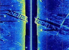
Often used for coastal and river surveys and target detection, where a sideway view is required and a downward looking sensor is not appropriate
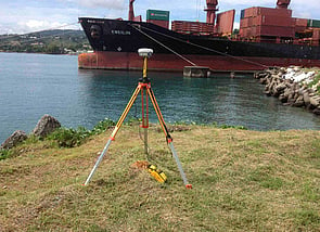
RTK, DGPS, WADGNSS used to provide referencing and highly accurate positioning
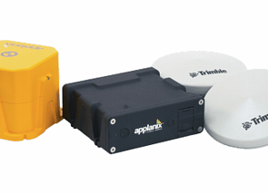
Used to remove heave and motion from data to ensure accurate depths are recorded
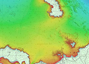
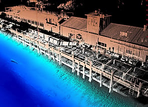
Used to gather and provide seamless coastal and near shore surfaces by combining land imaging with underwater imaging
For detection of underwater ferrous objects
Used to collect aerial imagery in remote or challenging environments
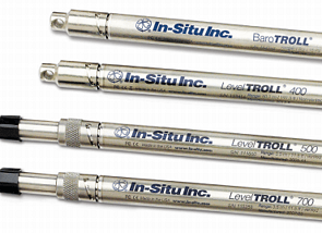
Tide gauges, bottom or surface mounted for collection and monitoring of tide data
we use a range of sensors to achieve depths, accuracy and precision required

BAY OF PLENTY
Discovery Marine Ltd
42B Tawa Street
Mount Maunganui 3116
Postal Address:
PO Box 4048
Mount Maunganui
Bay of Plenty 3149
New Zealand
Tel: 0800 365 787 or
0800 DMLSURVEY
AUCKLAND
Discovery Marine Ltd
Unit 1, 15 Ashfield Street
Glenfield
Auckland
Tel: 0800 365 787 or
0800 DMLSURVEY
AUSTRALIA
Discovery Marine Australia Ltd (DMAL)
For all enquiries, please call the freephone number below:
Tel: 1800-625-317