LINZHydrographySurveyHydrographicBanks PeninsulaEducationHydrographic surveyAHSCPCertificationHydrographic surveyorScholarshipScienceStudyUniversity of OtagoAustralasian Hydrographic Surveyors CertificationBluffCPHS1DoCECANGisborne District CouncilJimmy van der pauwMount maunganui collegeNautical chartPortsSafetySeaworksStaffStewart IslandStudentSurvey schoolTaranakiTrainingTRANQUIL IMAGEWestern Work Boats#aucklandharbourbridge#bathymetric surveys in remote locations#bestcareerever#declanstubbing#HIPP#hydroscheme#Industryandgovermentworkingtogether#mapping the seabed#mappingthegaps#mobilelaserscanningfromavessel#peoplematter#promotion#publicprivatepartnership#surveynews#talentedpeople#transtasmanpartners#worldhydrographyday2023 Mount Everest ChallengeA career in HydrographyAustraliaAwardBack scatterBen hubbardBill dayBruce WallenCAT ACharityCoastalCoastal engineeringCollaborationCommunityComplianceCongratulationsRyanCPHS Level 1 or 2CPHS2CPHSL2CycloneDeclan stubbingDeerDevelopment in the Bay of PlentyDMLDMLScholarshipDolphinsEmergencyFederated States of MicronesiaFeesFieldworkFire fightingFSMFutureLeadersGabrielleGeospatialGeospatial CouncilGisborneGreg coxHSEHydrographic Survey in SamoaHydrographic surveying on a jet skiHydrographic surveyorsHYPLANIHOJasmin McVeighKate downesKevin smithLand Information New ZealandLaser scanning super structuresLife jacketsLive for MoreMan over boardMarineMauaoMount MaunganuiMulitbeamMultibeamNapierNautical chartingNew PlymouhtNew ZealandNew Zealand Certificate in Hydrographic SurveyingNorthportOIOpen DayPacificPlay hardPohnpeiPohnpei surf and Dive ClubRelaxationRemote vessel survey New ZealandRescureRetirementRiver surveysRNZNSafety of navigationSally coxSand wavesScholarshipAwardSchoolsSea SurveyorSinglebeamSpatial Hydrography Award 2022StudentsSurvey and spatialSurvey requestSurveyingSurveying a shallow pondSurveying sediment pondSurveyorSurvivalTatai Aho Rau LEARNZTeachersTeamTonkin & TaylorVirtual Field TripWater columnWet drillsWhite pointer sharkWomenWork hardYouthYouthInScience
TAGS

Virtual Field Trip

Virtual Field Trip

Calling all teachers! You can now sign your students up for the Toitu te Whenua Land Information New Zealand 2024 Geospatial Virtual Field Trip for schools with Learnz Online Field Trips, ‘What lies beneath? Discovering the secrets of our seabed’

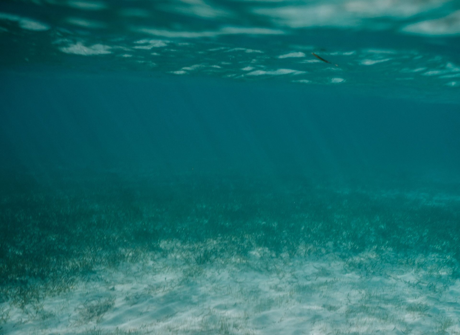
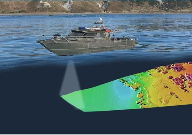
The field trip launches on Monday 10 June and students will learn about seabed surveys, which allow us to build detailed 3D maps of the seafloor and provide valuable information about the marine environment. 

The field trip involves an exciting virtual hydrographic surveying adventure off the coast of Gisborne! The field trip involves our own surveyors from Discovery Marine Limited.