SURVEY PLAN
SEABED, COASTLINE & FRESHWATER MAPPING
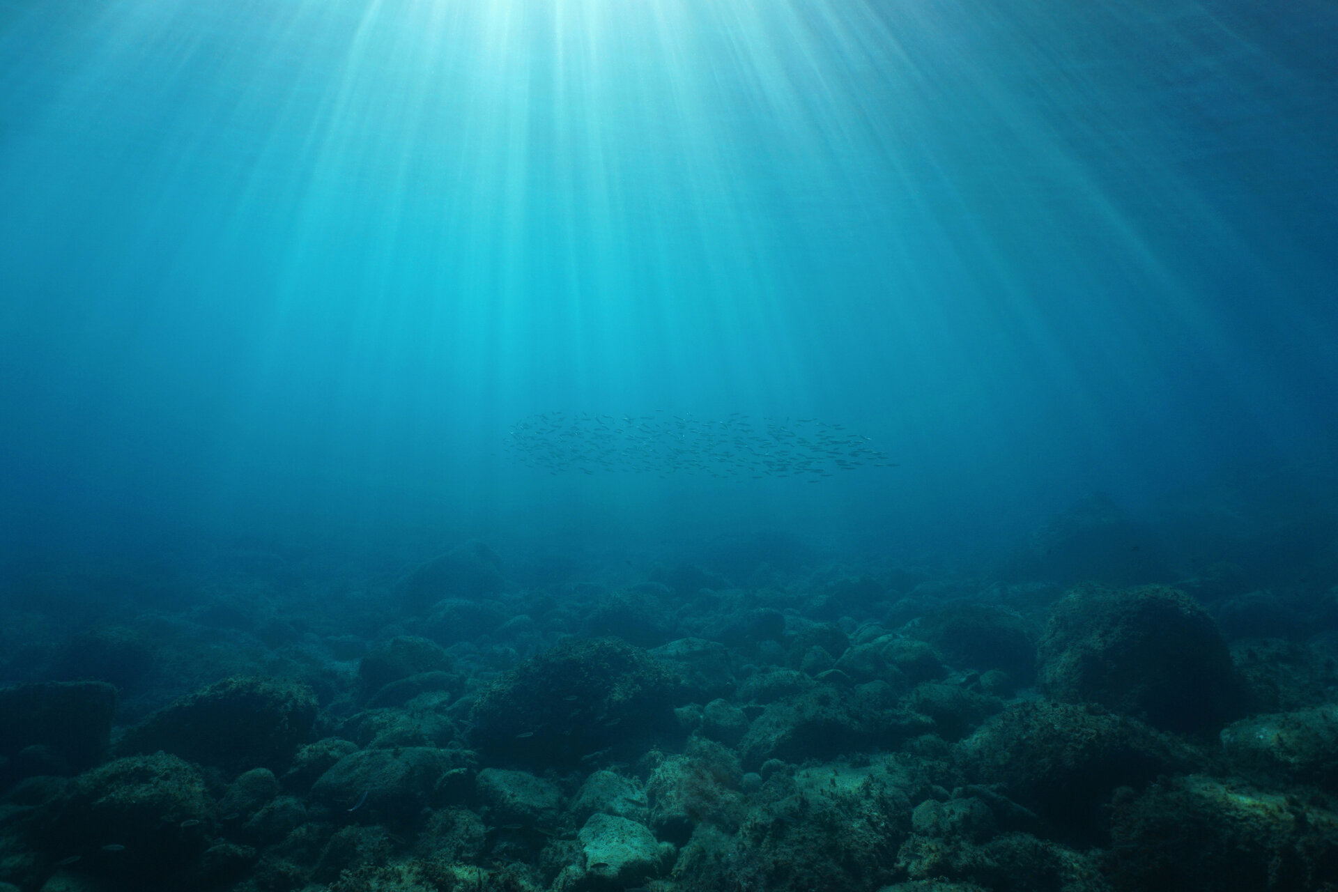
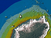
Our clients work in high-stakes coastal environments, where understanding surrounding waters is critical for ensuring safety, resilience and sustainable development. This understanding begins with knowing the local bathymetry - the depth and shape of underwater terrain, because the terrain influences how water will behave as it moves across it. As experts in the science of Hydrography, we're adept at capturing bathymetry. We also understand tides, observe currents, identify navigational hazards and provide insights into the nature of the seabed and water column above it.
> HYDROGRAPHIC SURVEYING - FOR NAUTICAL CHARTING
Hydrographic surveys are required to ensure safe ship navigation and are the most complex projects we undertake, due to exacting standards and demanding operating conditions.
Surveyors leading this work, must hold internationally recognised certifications and have proven experience in the science of Hydrography.
READ MORE HERE
> HYDROGRAPHIC SURVEYING - FOR PORT & DREDGING OPERATIONS
Port and dredging surveys are needed to ensure safe vessel operations within ports and harbours. Given the high-stakes environment, the Maritime New Zealand Good Practice Guidelines for Hydrographic Surveys in NZ Ports and Harbours, recommends that appropriately certified hydrographic surveyors undertake this work.
DML’s senior team hold CPHS Level 1 and/or IHO Cat A Certification and we are a trusted provider to New Zealand’s largest commercial Ports.
READ MORE HERE
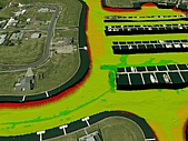
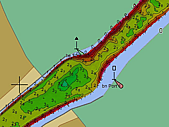
> BATHYMETRY & MOBILE LASER SCANNING - FOR EROSION & SEDIMENTATION MONITORING
Coastline, river and lake surveys are requested to assist with modelling for flood management, assessing water quality, coastline/lake shore/river-bank management and resource consents.
Using vessel mounted echo sounders and mobile laser scanning technology, it’s possible to collect and combine data from above and below the waterline for coastline/lake shore/river-bank management.
READ MORE HERE
> BATHYMETRY & MOBILE LASER SCANNING - FOR DAMS & INFRASTRUCTURE
Reservoir and dam surveys are required to assist with asset management, provide water volume calculations, water quality assessments and to support resource consents.
Using multibeam echo sounders and mobile laser scanning, it’s possible to provide seamless data from above and below the water line, enabling 3D visualisation.
We understand the risks & challenges of surveying dams.
READ MORE HERE
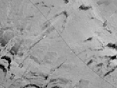
> BACKSCATTER & WATER COLUMN DATA - FOR SCIENTIFIC STUDIES
Backscatter and water column data is available from comprehensive bathymetry. The data can be used to characterise the consistency of the seabed and habitats, explain spatial patterns of sea floor biology and biodiversity at continuous scales.
Water column data enables 3-D mapping of fish schools and other mid-water marine organisms, biological abundance assessments and species identification. The data is also useful for mapping the heights of wrecks, and underwater freshwater, gas and oil seeps.
READ MORE HERE
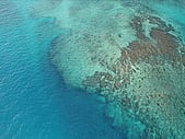
> HABITAT MAPPING - FOR AQUACULTURE & SCIENTIFIC RESEARCH
Bathymetric data can be used to help define the characteristics of benthic habitats on the seabed, lakes and rivers. We also collect sediment samples, undertake SVP/Temperature/Salinity observations and capture underwater photography and video to support scientific research.
Discovery Marine has provided high-quality survey data to the science community to assist with answering science related questions.
READ MORE HERE
> REMOTE LOCATION SURVEYS - FOR PLANNING DEVELOPMENT & RESILIENCE
We provide engineers with hydrographic and topographic survey services in remote locations often to support International Development and Aid Projects for inter-island transport, trade and fisheries or in response to an environmental event.
Our equipment is portable, enabling it to be deployed on vessels of opportunity and our teams are experienced in tackling challenges associated with extreme and changeable weather conditions.
READ MORE HERE
> WHAT WE DELIVER
WE TAILOR OUR DELIVERABLES TO MEET YOUR NEEDS
It's important that we understand what information you need and why you need it, as this guides what we to provide to you. It's often useful to have animated fly-throughs to help explain the implications of what lies submerged out of view.
Sometimes clients just want data in it's raw state, so they can amalgamate it directly into other datasets. The best outcomes are achieved through early discussions.
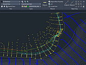
> SURVEY PLATFORMS WE USE
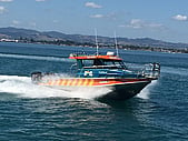
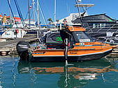
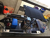
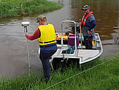
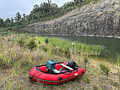
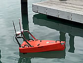
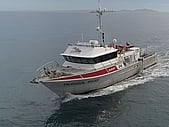
WE COMPLY WITH STRICT REGULATIONS FOR SAFETY AT SEA
Working on and around water presents safety challenges. When engaging contractors, it's important to ensure operations comply with safety laws both on and off the water.
Our vessels are operated under strict maritime safety regulations using experienced and certified skippers.
> WHO USES OUR DATA?
- a pilot guiding a large vessel through a constrained harbour entry
- a coastal scientist predicting impacts of a significant weather event or tsunami
- an engineer planning a coastal sub-division, coastal road or bridge
- a planner managing the volume contained in a city’s water catchment reservoirs
- or, a council assessing the licensing of a fish farm
- a scientist determining marine health, vitality and development prospects
- an engineer establishing wharves or coastal infrastructure in remote locations
For trustworthy data you can rely on, contact DML Surveys HERE